Apple Maps Adopts 'Lake America': Geopolitical and Technological Implications in Digital Cartography
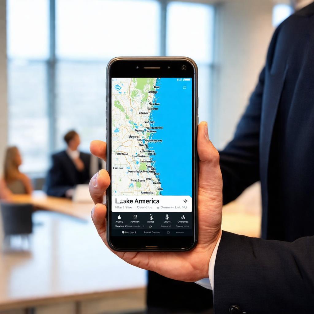
Apple Maps has renamed Lake Ontario to 'Lake America,' following a presidential executive order and prior adoption by Google Maps, amidst a trade dispute between the United States and Canada. This action highlights direct political influence on geographic data infrastructure managed by global tech companies.
By Carlos "Emérito" López Lovera•1 sept 2026•3 min read
Key Takeaways
- Apple Maps has globally renamed Lake Ontario to 'Lake America,' excluding its Canadian version, in response to a presidential executive order.
- Apple's decision follows a previous implementation by Google Maps and occurs amidst trade tensions between the United States and Canada.
- The modification in digital cartography by tech companies reflects direct political influence on geographic data infrastructure and the potential fragmentation of global information.
Apple's mapping platform, Apple Maps, has modified the name of Lake Ontario to 'Lake America,' an action that mirrors the prior implementation by Google Maps. This cartographic alteration responds to an executive order issued by President Donald Trump, within the framework of an ongoing trade dispute with Canada.
Analysis of Technical and Geopolitical Implementation
The adoption of this new designation by two of the leading global providers of digital mapping services, Apple and Google, sets a precedent regarding the malleability of geographic data in the face of political directives. Technically, the modification involves updating the underlying geospatial databases that power these applications. This includes reviewing metadata associated with the geographic entity, recalibrating visual labels in the user interface, and potentially adapting search and geolocation algorithms to recognize the new nomenclature.
Apple's decision, as reported by TechCrunch and The Verge, occurred on September 1, 2026. The existence of a presidential executive order as a catalyst for a name change of an internationally shared geographic feature, such as Lake Ontario, underscores the intersection between national politics and the operation of transnational digital infrastructures. The trade dispute between the United States and Canada serves as the backdrop for this directive, suggesting that digital cartography can be used as a symbolic or practical tool in geopolitical conflicts.
Economic and Data Sovereignty Implications
From an economic perspective, adapting to such executive orders represents an operational cost for technology companies, which must allocate resources to implement and maintain these modifications. Furthermore, the divergence in naming – with the Canadian version of Apple Maps retaining the original name of Lake Ontario – highlights a fragmentation of geographic information based on national borders and local regulations. This could lead to inconsistencies in navigation, logistics, and cross-border planning, affecting users and businesses operating in the region.
The ability of a government to dictate changes in the digital cartography of international geographic entities raises questions about data sovereignty and the independence of technology companies. While companies operate within the legal frameworks of the jurisdictions where they provide services, the application of political directives to the representation of shared geographic elements can complicate the global uniformity and reliability of cartographic data. This scenario forces companies to navigate a complex web of national regulations and geopolitical sensitivities.
Projection and Control Points
The development of future trade or diplomatic conflicts could result in the proliferation of similar directives, affecting the standardization of digital geographic information. It is crucial to monitor how other mapping platforms and geographic databases will respond to this precedent, as well as potential reactions from international bodies or governments affected by such unilateral modifications of geographic names. The evolution of this type of political intervention in global digital infrastructure will be a fundamental control point for the neutrality and universality of technological information services.
📖 Key Terms Glossary
❓ Frequently Asked Questions
Which tech companies have adopted the name change for Lake Ontario?
Apple Maps and Google Maps have implemented the name change of Lake Ontario to 'Lake America'.
What is the reason behind renaming Lake Ontario to 'Lake America'?
The change is due to an executive order signed by President Donald Trump, issued in the context of a trade dispute with Canada.
Does the name change affect all versions of Apple Maps?
No, the Canadian version of Apple Maps retains the original name of Lake Ontario, while the global version has been updated to 'Lake America'.
Support independent journalism 💸
The crypto ecosystem is volatile. If you decide to invest, do it safely using our affiliate links in the most trusted exchanges. You get a welcome bonus and we get a small commission.
Disclaimer: This content is not financial advice. Do your own research before investing.